Greece Aegean Sea Islands Romania Negroponte Mallet old map 1719 lovely example
Greece Aegean Sea Islands Romania Negroponte Mallet old map 1719 lovely example
✅ Made In USA
✅ Quick Delivery
✅ Cruelty Free
Regular price
$51.85
Regular price
$51.85
Sale price
$85.00
Unit price
per
Couldn't load pickup availability
-
Ordered
- - -
Order Ready
- - -
Delivered

Greece Aegean Sea Islands Romania Negroponte Mallet old map 1719 lovely example
Regular price
$51.85
Regular price
$51.85
Sale price
$85.00
Unit price
per
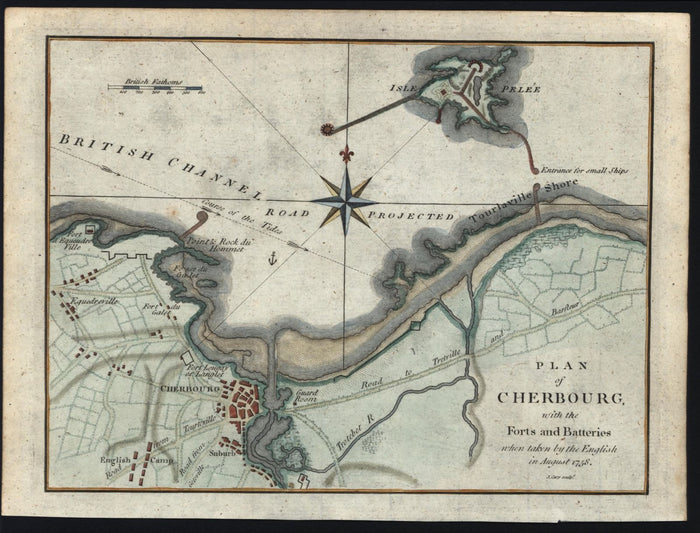
Plan of Cherbourg, with the Forts and Batteries when taken by the English in August 1758.
(Greece Aegean Sea Islands Romania Negroponte)
Issued c. 1790, by John Cary.
Charming little antique 18th century engraved map with beautiful hand color.
Paper and image remains clean and well preserved with a fine patina and visual appeal.
Sheet measures c. 7 3/4"H x 10 1/4"W.
Printed area measures c. 6 3/4"H x 9"W.
[R15351]
Tooley's Dictionary of Mapmakers, v. 1.
Collapsible row
Collapsible row